

NorCal Aerial Image
2D Orthomosaic Map Gallery
Each case study highlights our expertise in drone imagery, aerial documentation, and mapping.
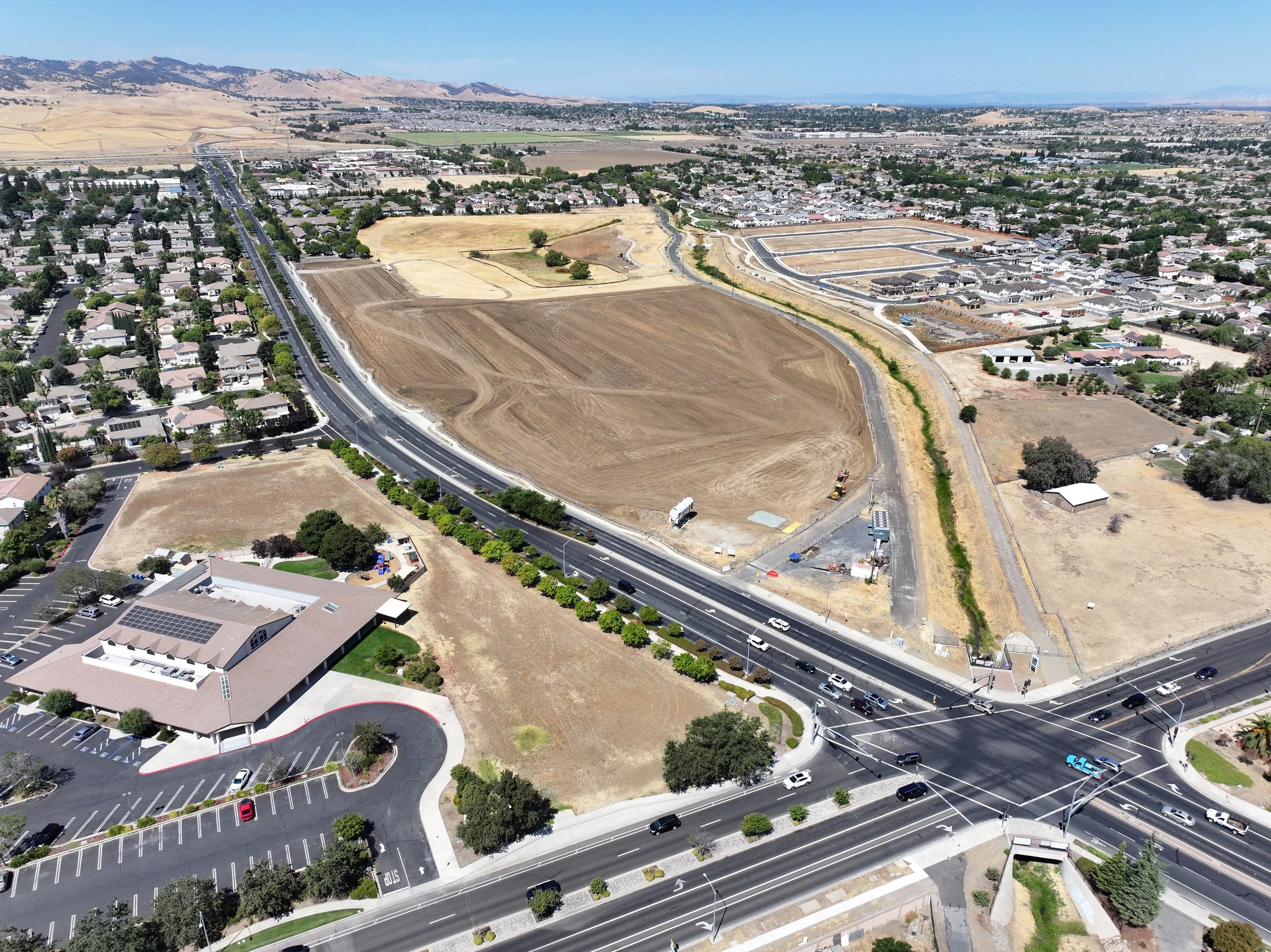
Orthomosaic Mapping for Visual Documentation:
Explore how our high-resolution 2D orthomosaic maps provide clear, accurate visual documentation from above. These detailed aerial composites are ideal for showcasing project progress, land development, construction updates, and property records. Our mapping process delivers sharp, true-to-scale imagery that preserves every detail, perfect for reporting, archiving, and visual storytelling
Your Gateway to Aerial Innovation:
As you browse our gallery, see how orthomosaics bring context and clarity to your projects. Whether you’re tracking construction milestones, documenting landscapes, or maintaining site records, our aerial maps offer a reliable visual record of every stage. Let our case studies demonstrate the value of professional aerial documentation powered by drone technology.
Ready to elevate your project? Contact NorCal Aerial Image today to schedule a consultation. We’re eager to understand your unique needs and tailor a solution that integrates drone technology seamlessly into your workflow. Contact Us!
Case Study #1: Solar Installation over the Civic Center in Oakley, California
Case Study #3: Raw land before 8 custom new home builds in Brentwood, California
Case Study #2: After the Demo RAW Land Prep of Chick-fil-A in Brentwood, California