

NorCal Aerial Image - Drone Services Company
Professional drone services company for Real Estate, Commercial Real Estate, Construction, and Inspections as well as media.
FAA Certified
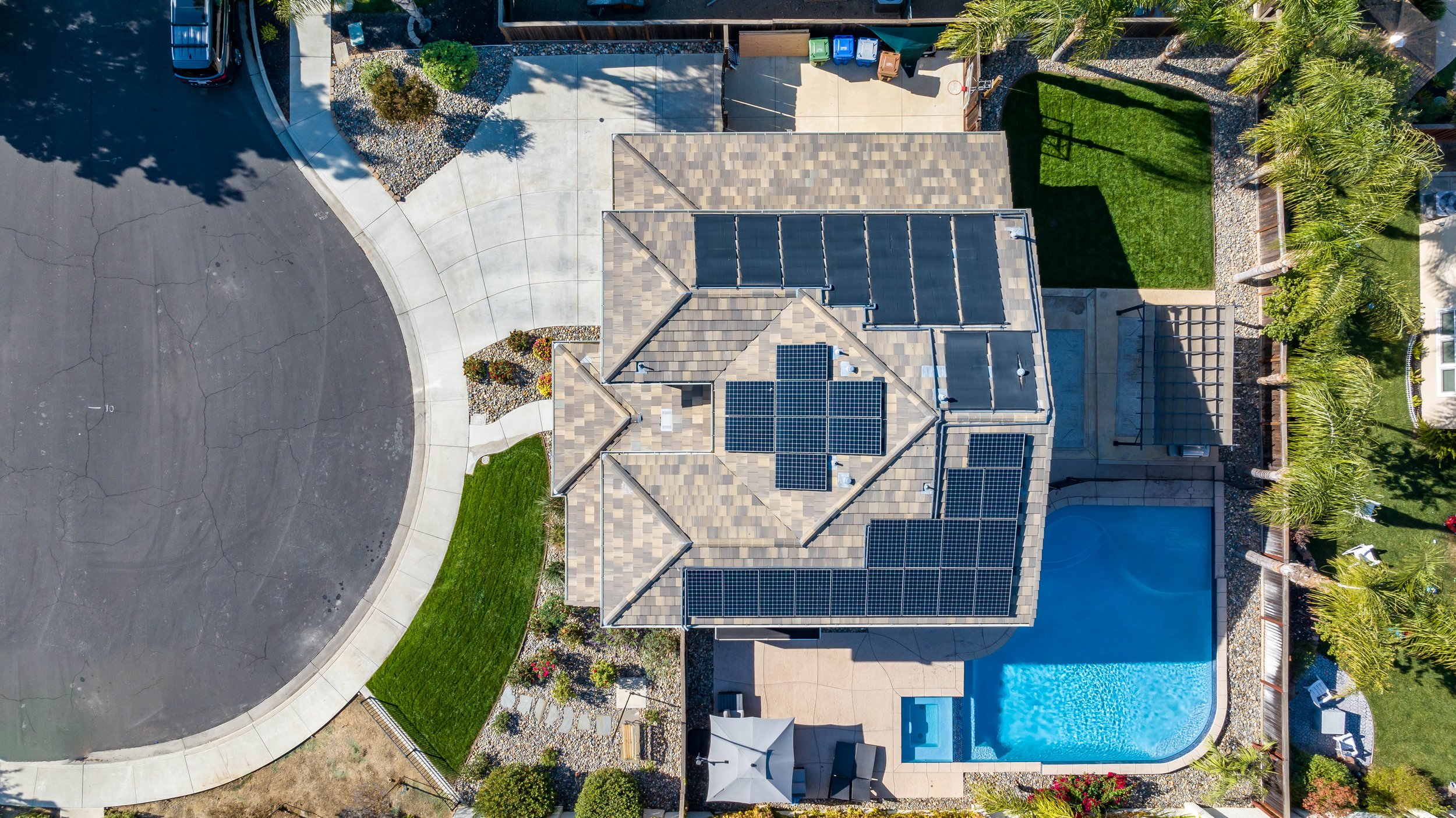
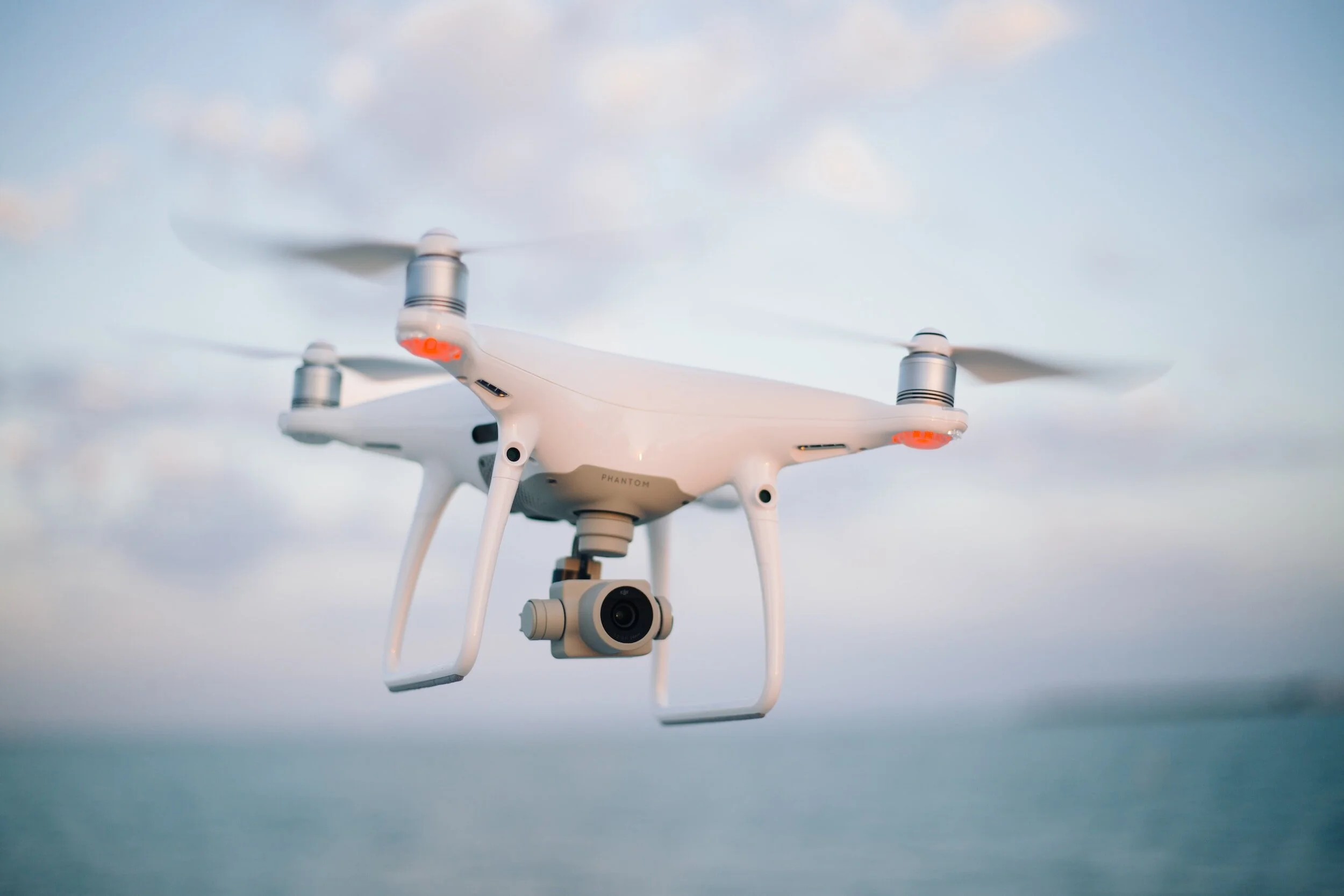
We are the premier FAA Part 107 Certified Aerial Solution serving Northern California. Headquartered in Brentwood, California, NorCal Aerial Image is a fully insured provider of commercial drone piloting services and aerial data collection. When you're in need of exceptional and compliant aerial data and imagery services in Northern California, your search ends with us.

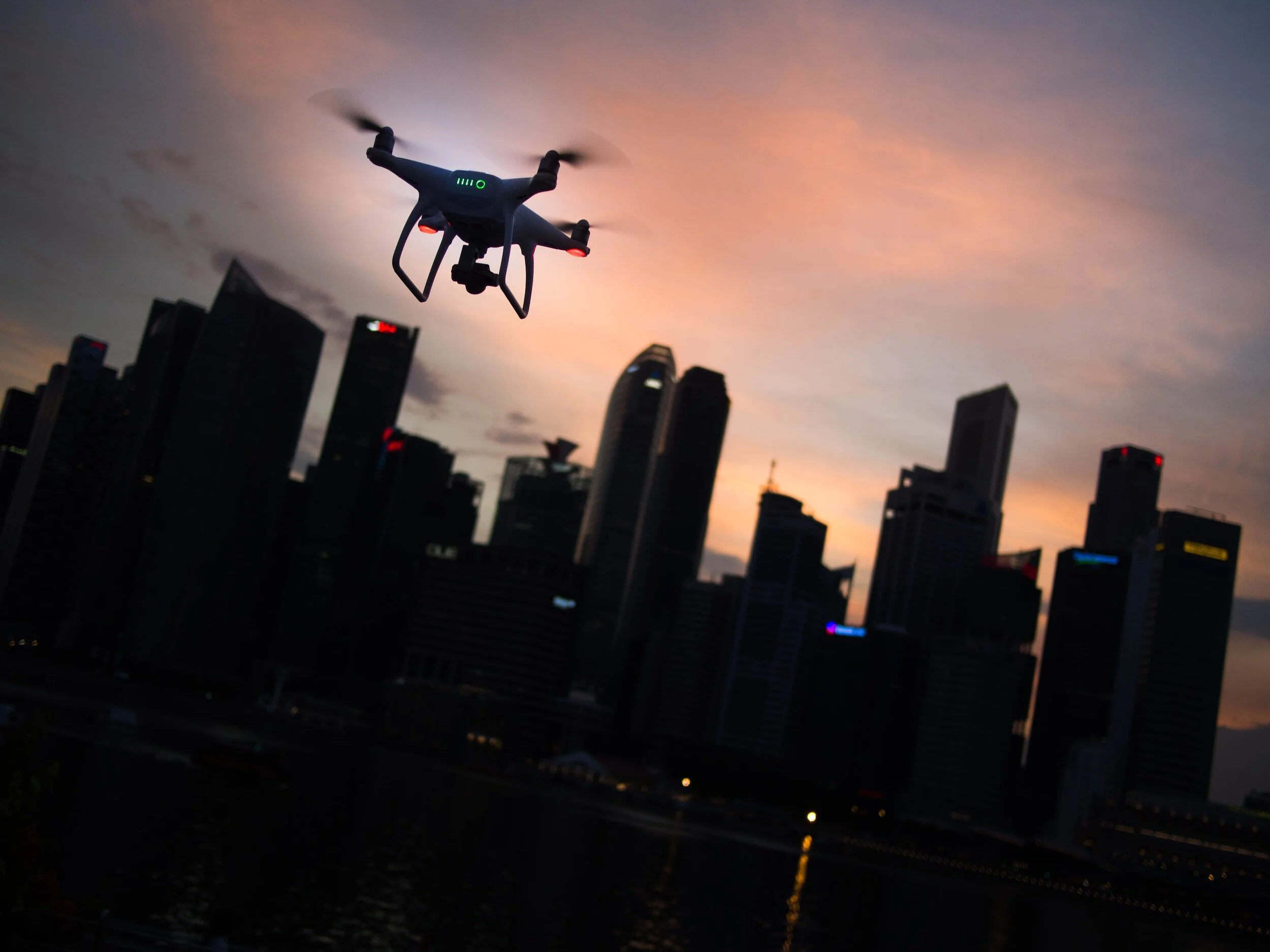
Aerial Media
-

Photography
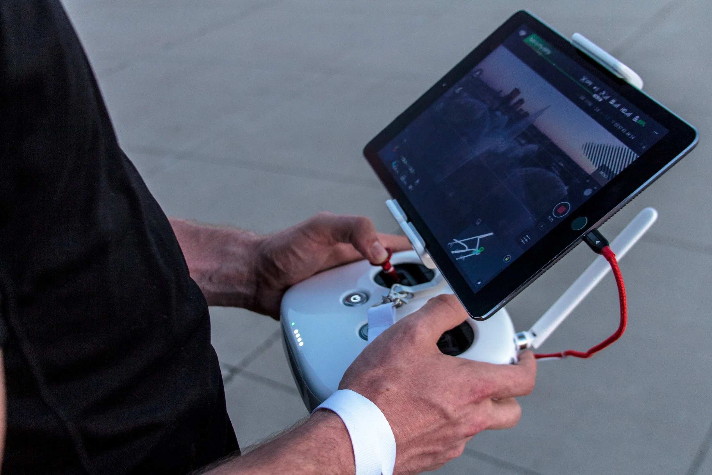
Elevate your visual storytelling with our top-tier aerial photography services. We combine cutting-edge technology and FAA-certified expertise to capture stunning perspectives, providing impactful imagery that enhances your projects and boosts sales.
-
Videography
Elevate your projects with professional aerial videography services. With a focus on skill and creativity, I capture compelling footage using advanced technology. Add a unique visual dimension to your storytelling, setting your projects apart and driving impressive results.
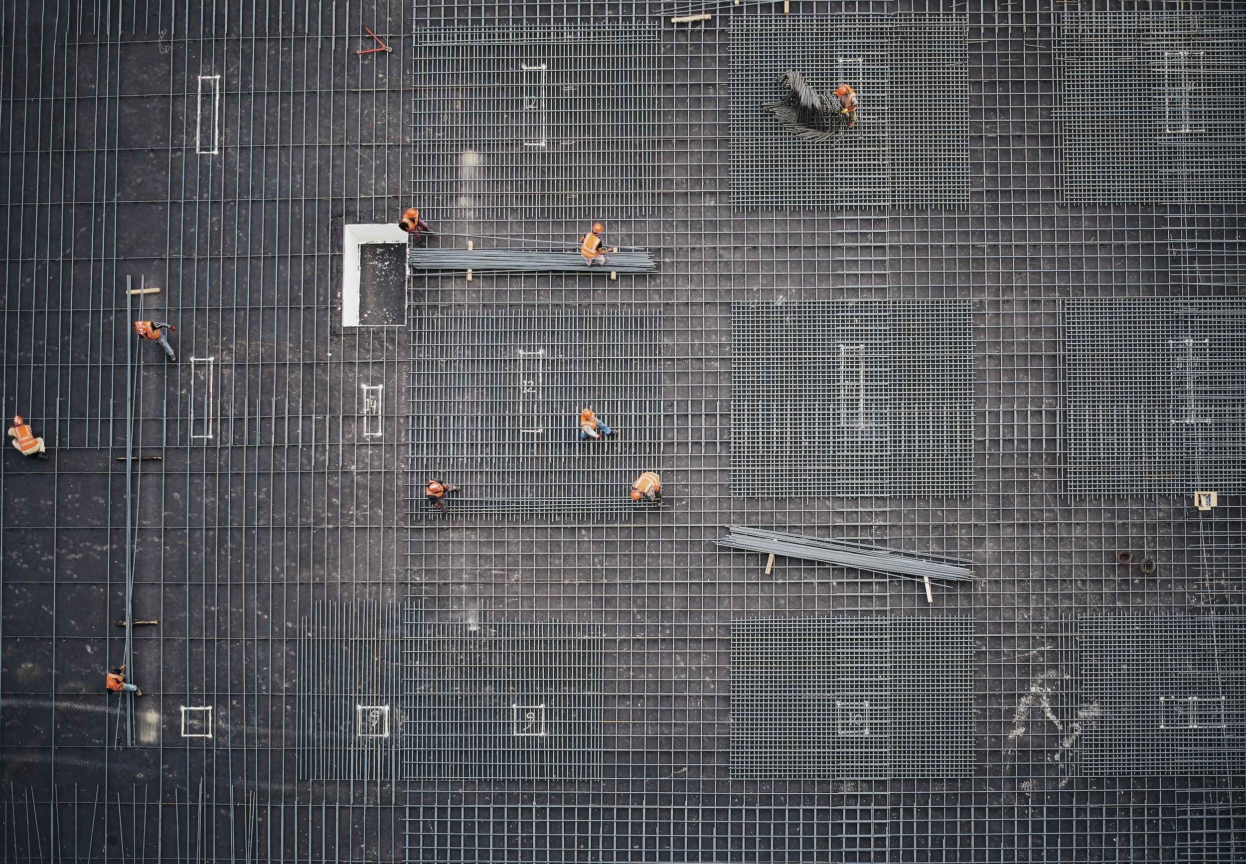
Construction Services
-

Progression Video
Witness the dynamic progression of your project through our drone timelapse videos, a powerful tool for stakeholders and collaborators alike. From groundbreaking to completion, our aerial footage captures every phase, offering a compelling visual narrative. Elevate project communication and provide shareholders with a unique, real-time perspective of your construction site's transformation.
-
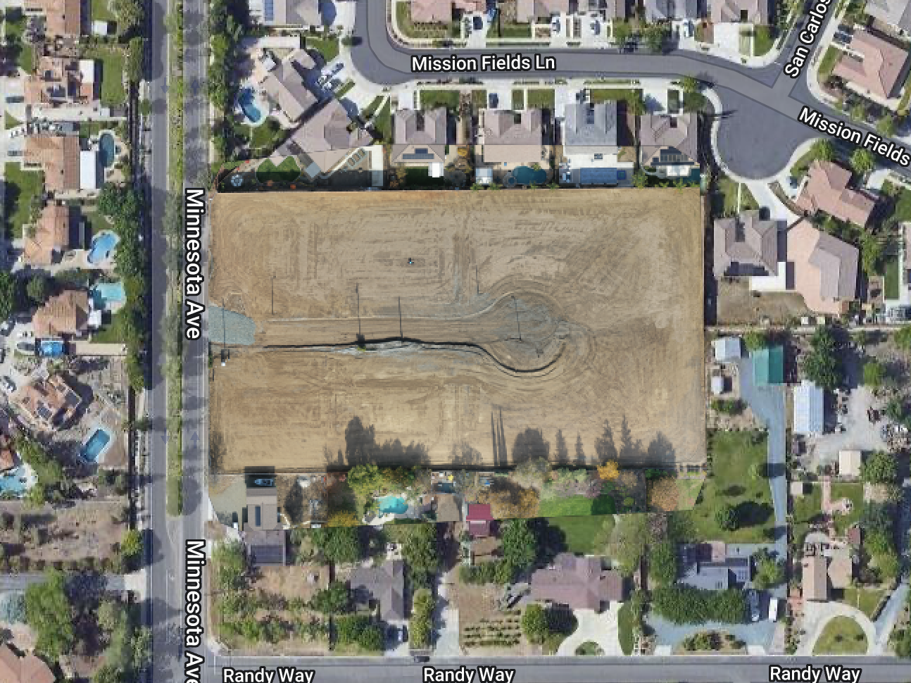
2D Mapping
Unlock precision and clarity in project planning with our 2D mapping models featuring orthomosaics. Our drone technology captures high-resolution aerial images, seamlessly stitching them together for detailed, accurate maps. Streamline decision-making and gain comprehensive insights into your site layout, empowering effective project management.
-

3D Modeling (Coming Soon)
Elevate your project visualization with our drone 3D modeling services. Capture detailed aerial views to enhance planning, monitor progress, and showcase your construction site from every angle. Transform your construction experience with precision and clarity.
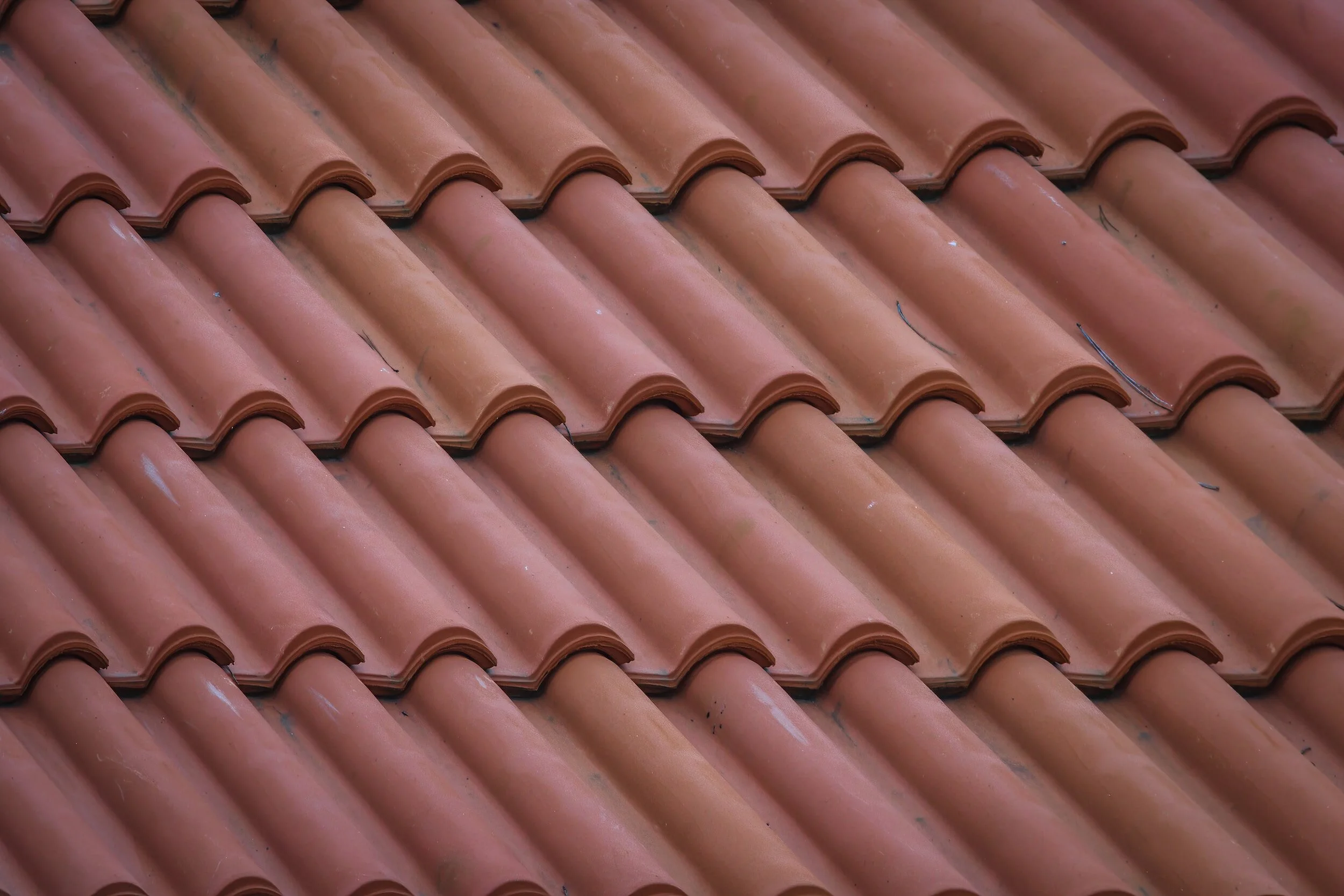
Roof Inspections
-
Efficiency and Speed
Our advanced technology allows us to swiftly navigate and capture comprehensive data, providing you with a thorough assessment in a fraction of the time required by traditional methods. Experience a streamlined inspection process that saves time while delivering accurate and detailed results
-
Enhanced Safety
By eliminating the need for manual roof assessments, our drones enhance safety by keeping personnel away from potential hazards such as uneven surfaces and heights. Embrace a safer approach to inspections without compromising on the thoroughness of our assessments.
-
Precision and Detail
Our high-quality aerial imagery ensures a thorough assessment, providing essential insights without unnecessary complexity.
-
Cost-Effectiveness
By streamlining the inspection process and reducing the need for additional resources, we provide a financially efficient solution for proactive maintenance. Experience thorough assessments without compromising your bottom line.
