

Drone Services Based in Brentwood, Serving the Bay Area, Sacramento, and Northern California
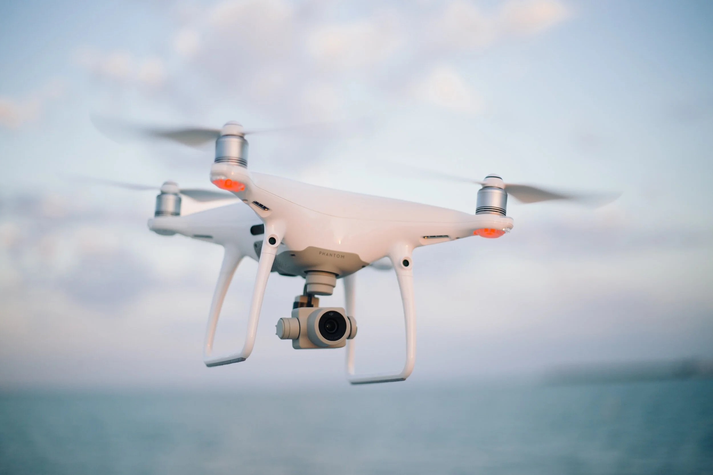
FAA Certified
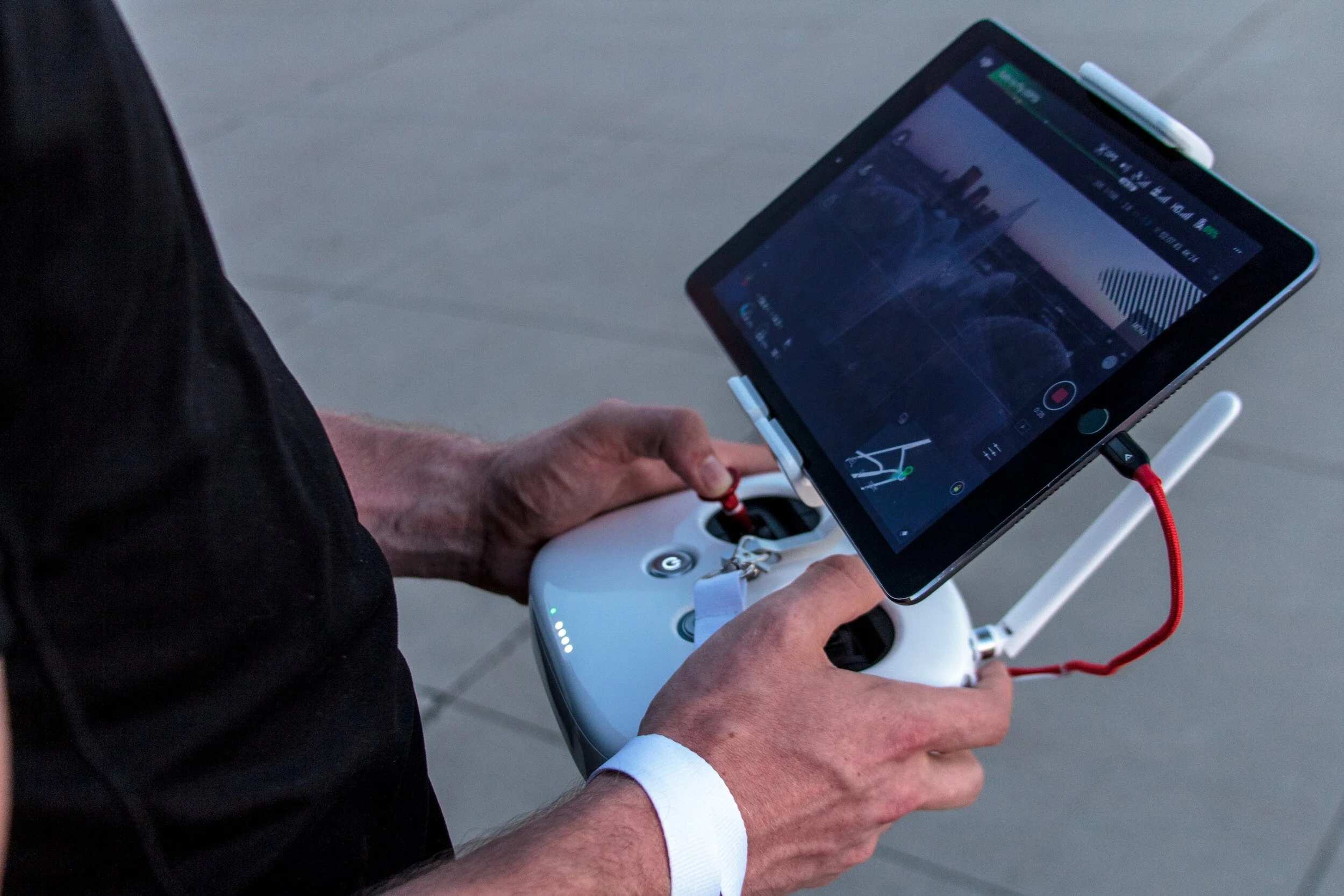
We are the premier FAA Part 107 Certified Aerial Solution serving Northern California. Headquartered in Brentwood, California, NorCal Aerial Image is a fully insured provider of commercial drone piloting services and aerial data collection. When you're in need of exceptional and compliant aerial data and imagery services in Northern California, your search ends with us.

Aerial Media
-

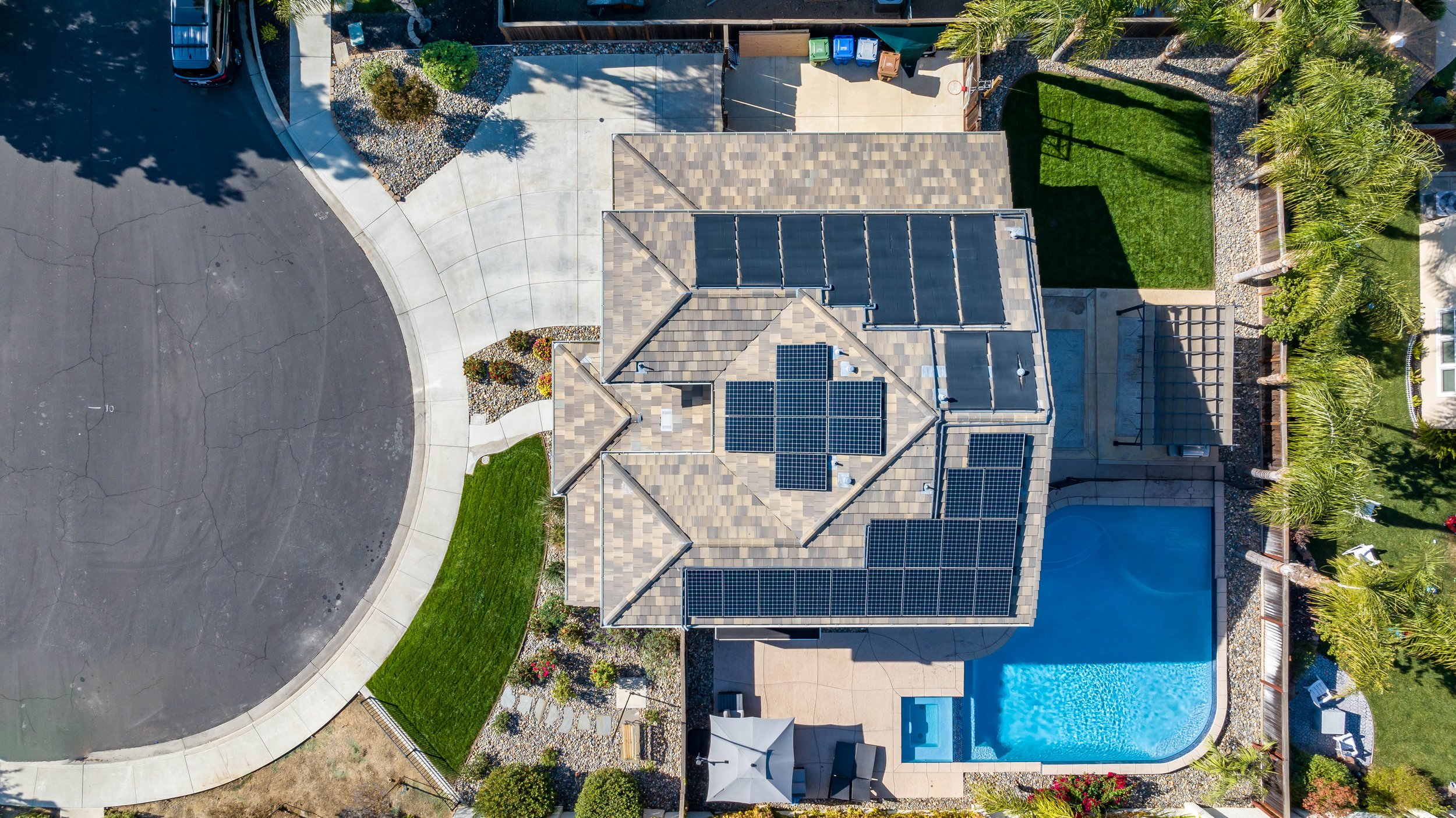
Photography
Elevate your visual storytelling with our top-tier aerial photography services. We combine cutting-edge technology and FAA-certified expertise to capture stunning perspectives, providing impactful imagery that enhances your projects and boosts sales.
-
Videography
Elevate your projects with professional aerial videography services. With a focus on skill and creativity, I capture compelling footage using advanced technology. Add a unique visual dimension to your storytelling, setting your projects apart and driving impressive results.
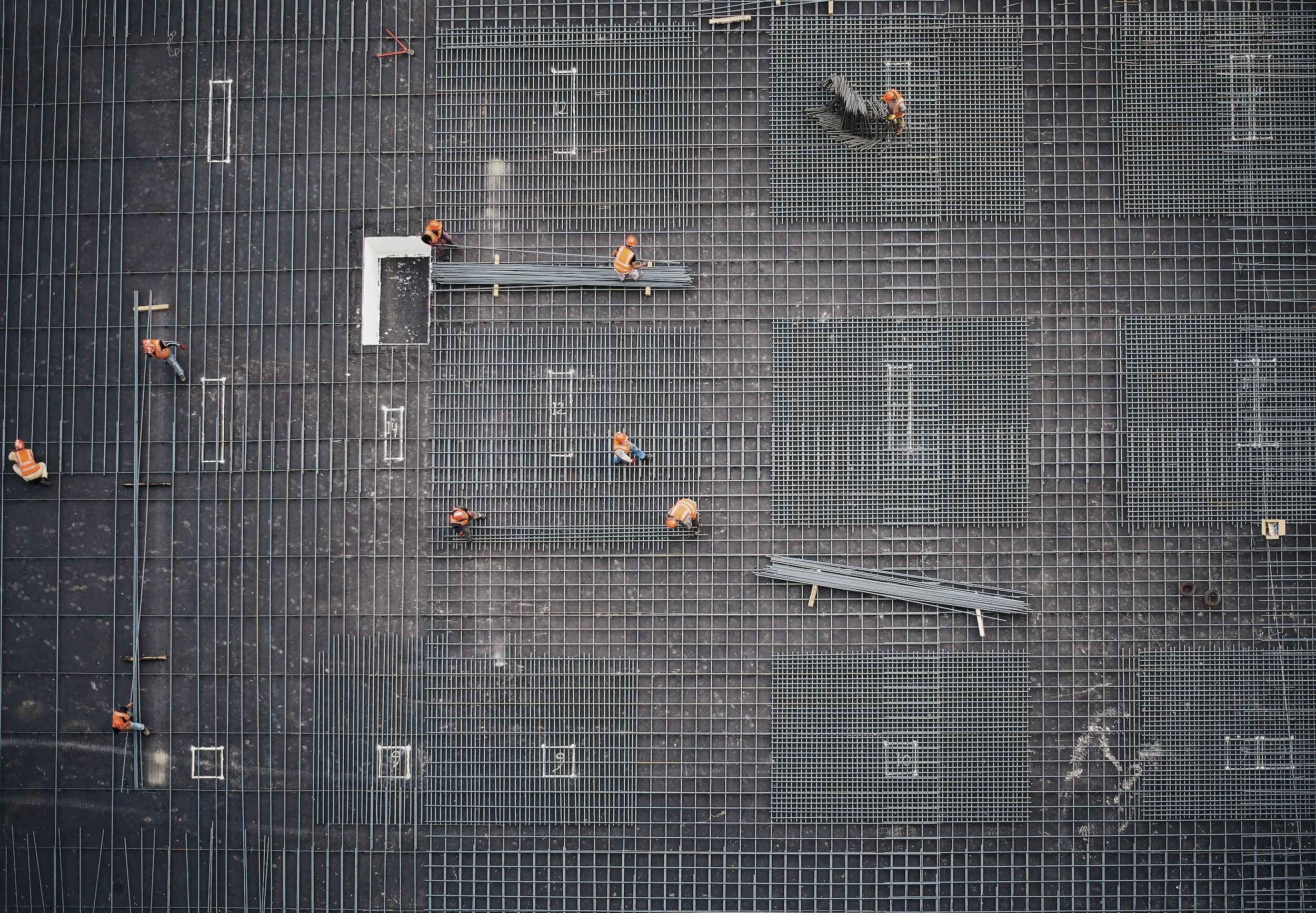
Construction Services
-

Progression Video
Witness the dynamic progression of your project through our drone timelapse videos, a powerful tool for stakeholders and collaborators alike. From groundbreaking to completion, our aerial footage captures every phase, offering a compelling visual narrative. Elevate project communication and provide shareholders with a unique, real-time perspective of your construction site's transformation.
-
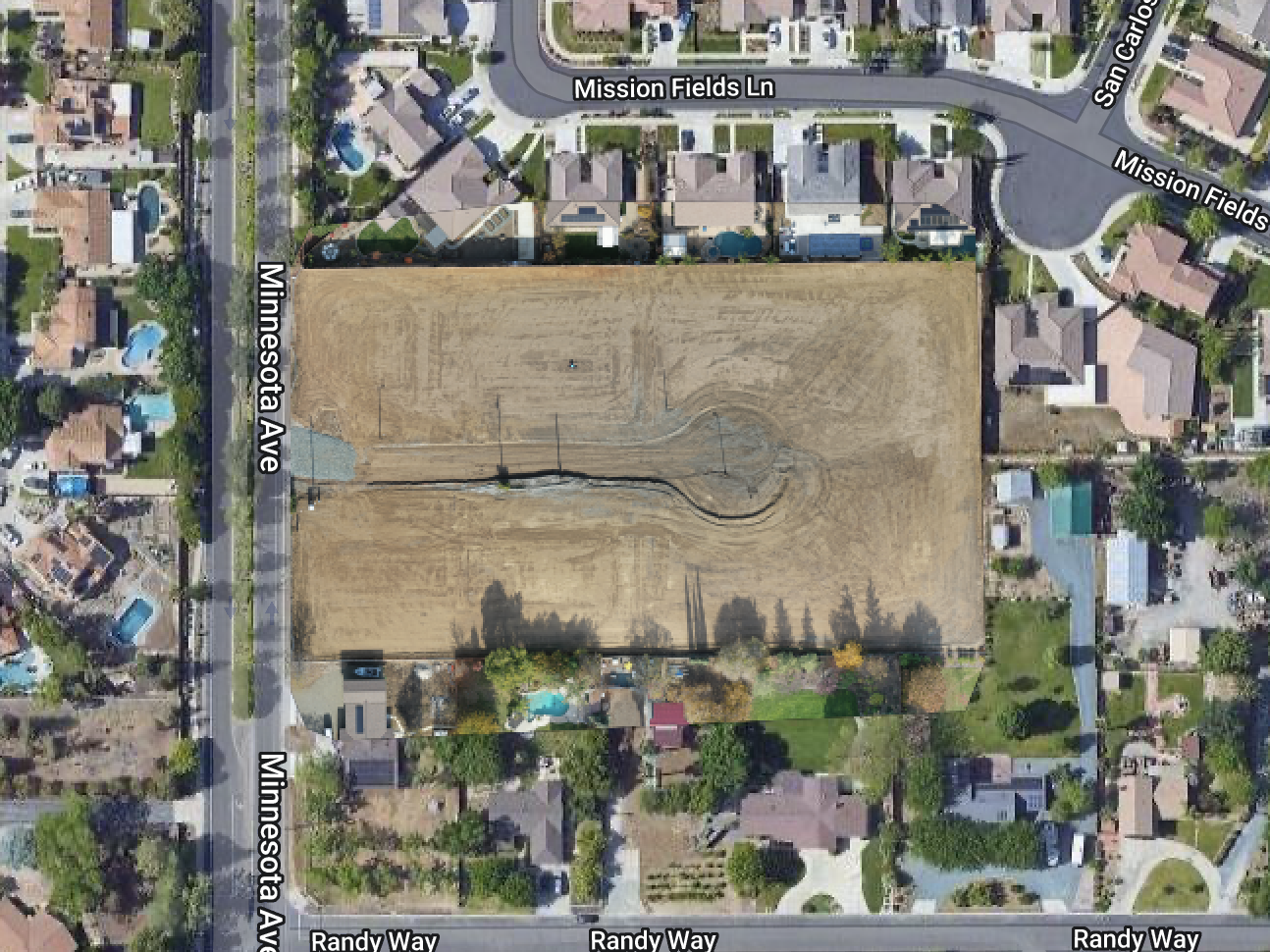
2D Mapping
Unlock precision and clarity in project planning with our 2D mapping models featuring orthomosaics. Our drone technology captures high-resolution aerial images, seamlessly stitching them together for detailed, accurate maps. Streamline decision-making and gain comprehensive insights into your site layout, empowering effective project management.
-

3D Modeling (Coming Soon)
Elevate your project visualization with our drone 3D modeling services. Capture detailed aerial views to enhance planning, monitor progress, and showcase your construction site from every angle. Transform your construction experience with precision and clarity.
Roof Inspections
-
Efficiency and Speed
Our advanced technology allows us to swiftly navigate and capture comprehensive data, providing you with a thorough assessment in a fraction of the time required by traditional methods. Experience a streamlined inspection process that saves time while delivering accurate and detailed results
-
Enhanced Safety
By eliminating the need for manual roof assessments, our drones enhance safety by keeping personnel away from potential hazards such as uneven surfaces and heights. Embrace a safer approach to inspections without compromising on the thoroughness of our assessments.
-
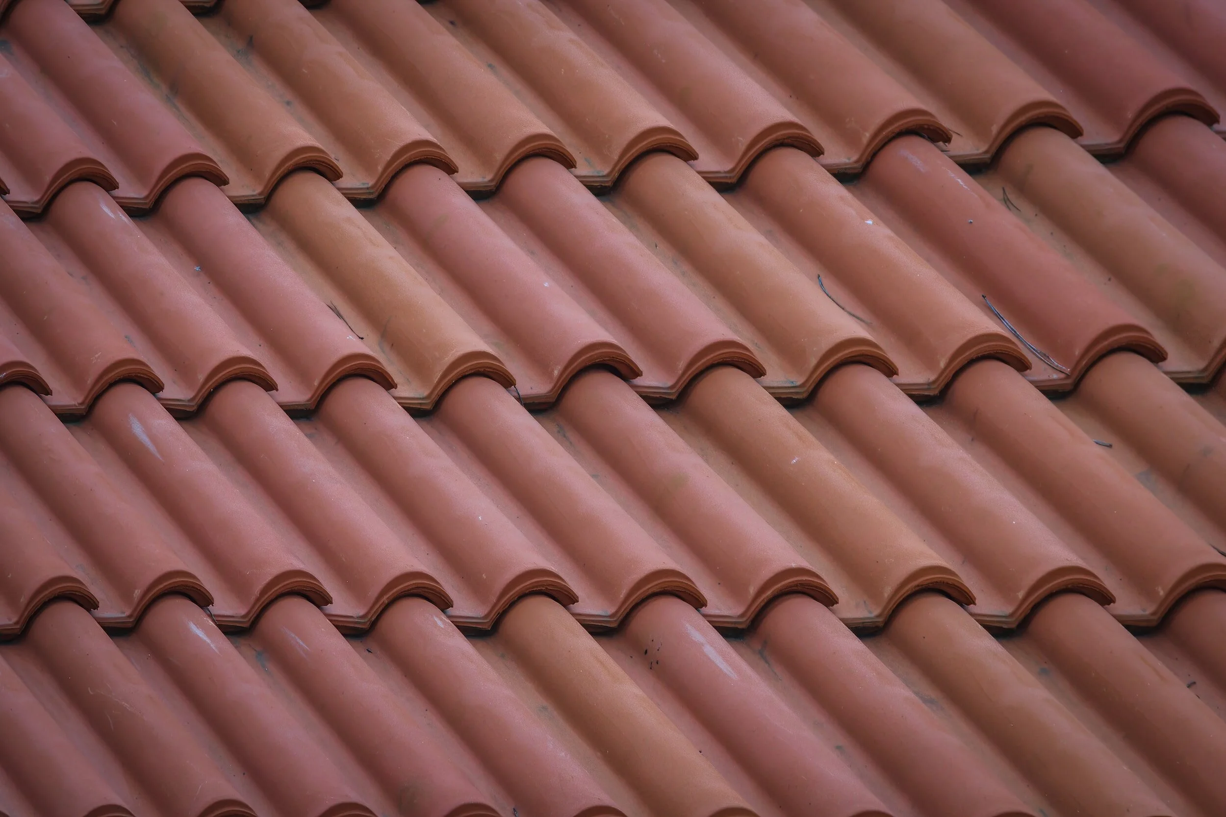
Precision and Detail
Our high-quality aerial imagery ensures a thorough assessment, providing essential insights without unnecessary complexity.
-
Cost-Effectiveness
By streamlining the inspection process and reducing the need for additional resources, we provide a financially efficient solution for proactive maintenance. Experience thorough assessments without compromising your bottom line.

360° Drone Tours
FAQ
-
We’re based in Brentwood, California and serve the entire Bay Area, Sacramento region, and much of Northern California — typically up to 100 miles in any direction. If your project is outside that range, we’re happy to quote custom travel.
-
Yes. We offer high-resolution aerial photos, 2D maps, and drone video clips to document construction progress. These can be delivered digitally or printed as laminated maps with QR codes so your team can easily access updates from the jobsite trailer.
-
Pricing depends on the type of project, location, and what’s being delivered. We offer flat-rate options for real estate, construction, and commercial work, as well as custom quotes for larger or ongoing projects. Get in touch for a personalized estimate based on your needs.
-
Yes. We are FAA Part 107 certified and fully insured for all commercial drone operations. Whether you're in construction, real estate, or commercial development, we fly legally and safely in compliance with FAA regulations.
-
Yes, we can. We handle LAANC authorizations and FAA waiver requests when needed. If your job site is in a controlled zone near an airport or heliport, we’ll take care of the paperwork and let you know what’s possible.
-
You can contact us through the website, give us a call, or send a E-Mail to talk about your project.
Whether you need aerial photos, video, mapping, or something custom, we’ll walk you through the next steps and provide a clear quote.